Skip Ribbon Commands
Skip to main content
Sign In
Careers Contact Live Chat

Taking Care of the Water Supply Areas

​​​​​​​​​​​​​​​​​​​​​​​​​​​​​​​​​​​​​​​​​​​​​​​​​​​​​​​​​​​​​​​​​​​​​​​​​​​​​​​​​​​​

Our watersheds cover about 60,000 hectares (150 times the size of Stanley Park) of protected land secured under a 999-year lease from the Province. Most of this is Crown land, with some sections owned by the Greater Vancouver Water District. The primary purpose of our watersheds is to produce high-quality drinking water​. They are protected from human access, urban development, and human-caused disturbances to keep our water clean.

By protecting these watersheds for drinking water we are also protecting a lot of forested land.

Western hemlock looper outbreak

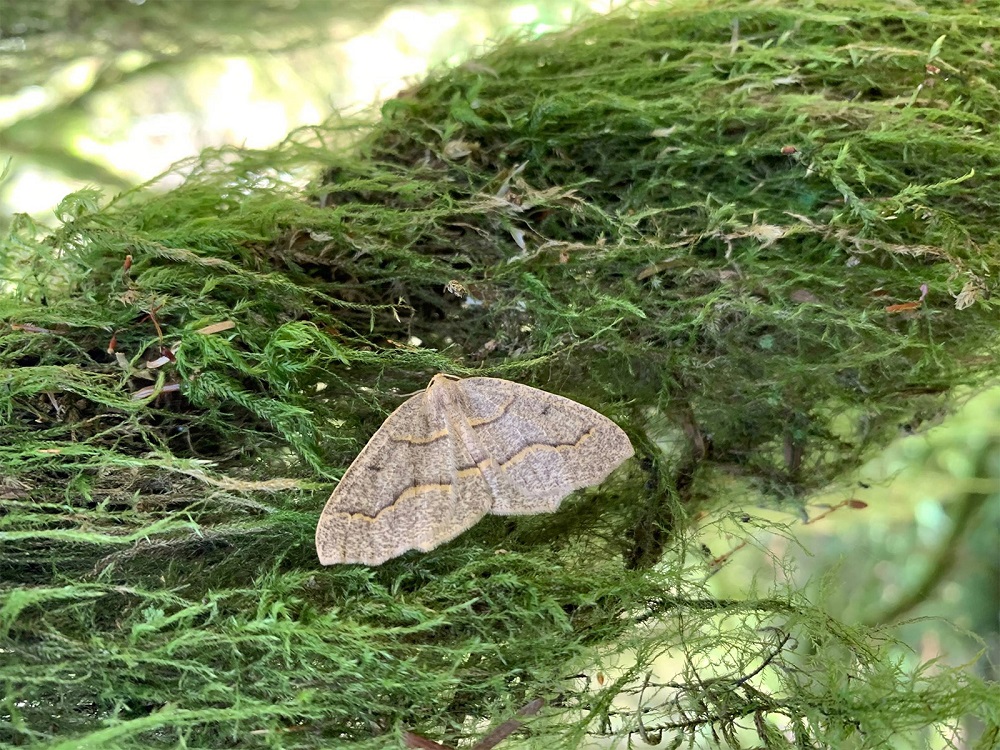
An outbreak of western hemlock looper moths impacted Metro Vancouver’s Capilano, Seymour, and Coquitlam watersheds, Lynn Headwaters Regional Park, and the North Shore from 2018 to 2021, resulting in tree defoliation and mortality.​

The western hemlock looper is a native species that is an important part of the natural coastal forest ecosystem, as looper larvae (caterpillars) feed on trees and understory vegetation that grow in the Lower Mainland. 
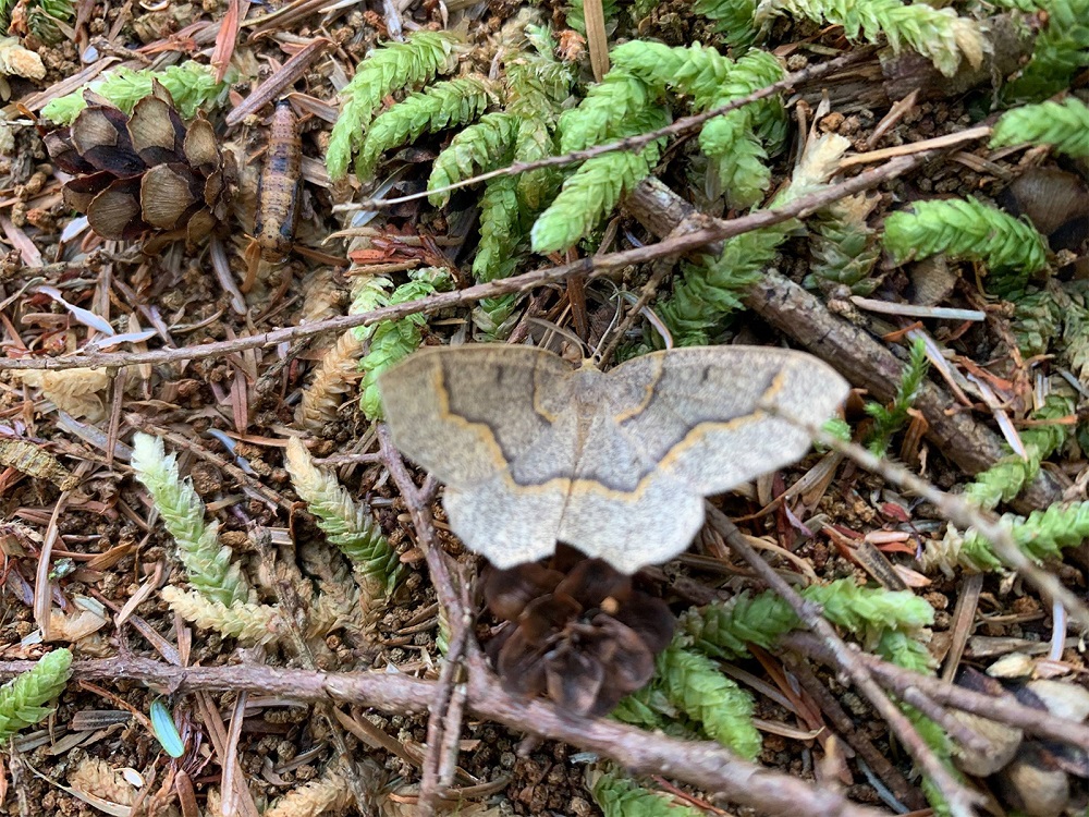
Western Hemlock Looper
​​​​

Erosion control

Erosion is where soil and sediment is worn away by wind, rain or even glaciers. In watersheds, steep banks combined with severe weather can result in landslides or creeks and rivers banks flooding. Tiny particles in our water supply add to the challenge of cleaning our water.

To minimize this risk, Metro Vancouver deactivates old roads, stabilizes slopes, strengths creek beds, and re-vegetates disturbed areas.

Water monitoring and forecasting

Monitoring stations throughout the watersheds help predict the impact of weather patterns on water quality. For example, in-stream data collection can signal when erosion in a tributary (side stream) may reach the reservoir.

Long-term data on precipitation and snowpack is also is useful for examining trends affecting water supply in our region, including the impacts of climate change.

Maintaining ecosystem health

These huge areas of forested land and protected wildlife habitat are valuable natural assets to our region. The ecological health of our watersheds contributes significantly to the quality of water, soil, and air we enjoy in this part of the world.

Our watersheds are covered with old-growth and second-growth stands of predominately western red cedar, Douglas-fir, Sitka spruce, and hemlock trees. They are also home to wildlife such as the Douglas squirrel, barred owl, black tailed deer, and black bear.

Fish

Fish are present in all of the rivers flowing from our watersheds. While our first priority is to provide high-quality drinking water, healthy fish habitat and populations play a key role in a balanced ecosystem. Metro Vancouver works on initiatives to restore habitat, and replenish fish stocks in the watersheds including protecting and creating healthy habitat to live, rear, and spawn; maintaining minimum populations; and providing safe passage past the dams. Salmon are a special consideration not only for ecosystem health but also for their cultural significance.​​​​

Minimal ​intervention

When natural disturbances such as plant disease, fire, or wind damage occurs, Metro Vancouver takes a minimal intervention approach. Unless there is a risk to public safety or water quality, these natural processes are allowed to take place.​​

Public engagement

Another key part of maintaining a sustainable and resilient water supply, is to provide opportunities for citizen engagement. School and public programs offer learning tools and guided field experiences to help people connect these places to their daily lives. Education initiatives create trust and confidence in our public water supply and allow for opportunities to share ideas; part of Metro Vancouver’s approach to promoting the sustainable use of water.

The Lower Seymour Conservation Reserve (LSCR) is located below the dam in the Seymour Watershed. It is an area of land that does not drain directly into the reservoir and is therefore open to the public. Visitors can explore the area through a number of recreational and educational opportunities.

River levels

Metro Vancouver provides recent and current river levels and flows of the Capilano and Seymour Rivers. This information may be of interest for recreation purposes.​​​​

Related links

By continuing to use our website, you acknowledge the use of cookies. Privacy Statement | Accept all cookies | Change settings